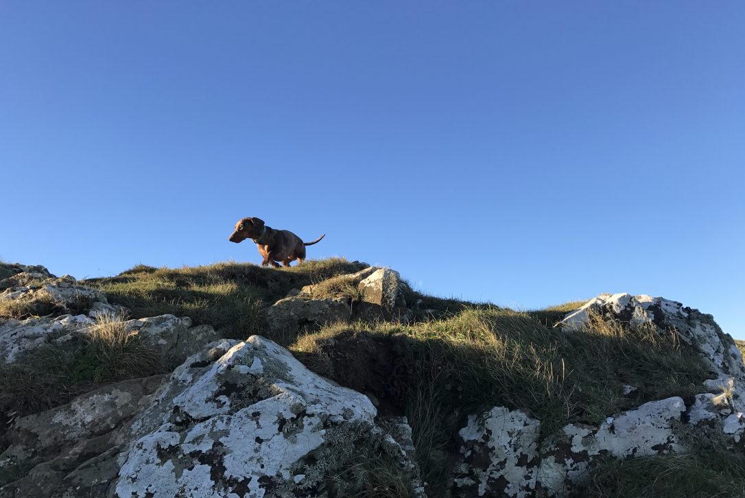
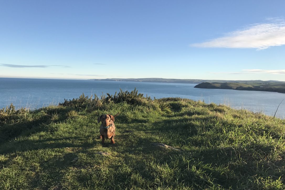
In part two of our new series of blogs, Marketing Manager Katy and her dappled miniature dachshund share their favourite dog walks.
The lowdown
A mid-length circular walk starting at the Lead Mines National Trust car park taking you onto one of the most scenic stretches of the South West Coast Path past the iconic landmark The Rumps. Enjoy picturesque farmland, rugged coastline and one of the best locations for year-round sea watching on Cornwall’s Atlantic north coast.
Location: 5 minutes’ drive from Polzeath and 10 minutes from Rock (grid reference SW942799, nearest postcode PL27 6QY).
Distance: 2 miles.
Time: 1.5 to 2 hours (including time to take in the scenery).
Difficulty: Moderate (path is steep in places, some stony terrain and one set of steps built into the hillside).
For you: Tick off one of the most beautiful local landmarks whilst getting the chance to spot seals, dolphins and harbour porpoises.
For your dog: Plenty of green space for running and chasing balls as well as scrub land to explore.
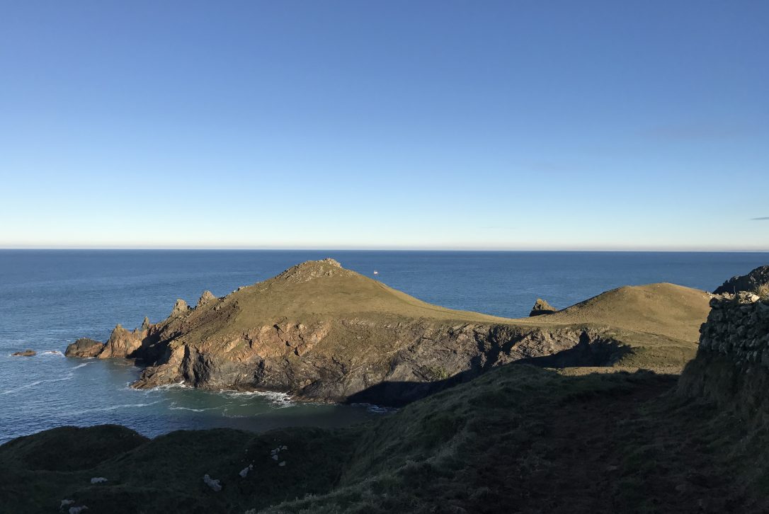
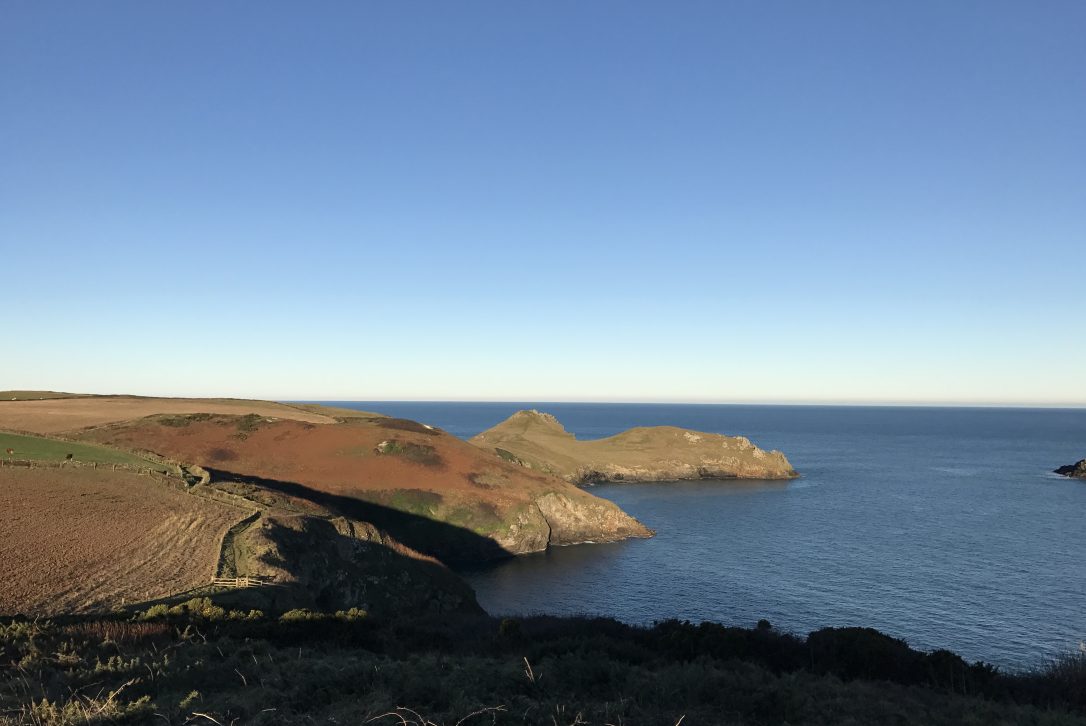
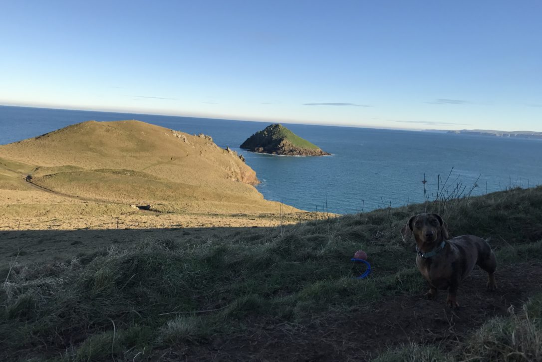
Highlights: The Rumps which is a twin-headed promontory formed from hard basaltic rock and the island off The Rumps called The Mouls (also referred to as Puffin Island as it is one of the last remaining breeding places for Atlantic puffins on the coast).
Lead? Some areas of the coast path run close to the cliff edge, so dogs might need to be put on a lead for these sections. If there is livestock on the land, dogs are required to be under close control or on a lead.
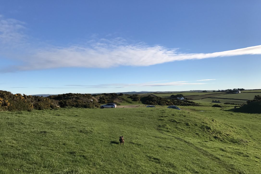
Parking: National Trust car park with a donation box suggesting £2 per car.
Pack: Your binoculars for wildlife spotting, walking shoes or trainers in the summer and some refreshments to enjoy on the way round.
The route
The starting point is the Lead Mines National Trust car park. This is off the beaten track so to find it you will need to drive towards New Polzeath. Half way down the road there is a right hand turning opposite the turning for Robbie Love's camp site. Take this turning and follow the road down the hill.
Follow the road round to the left, through a gateway and over a cattle grid.
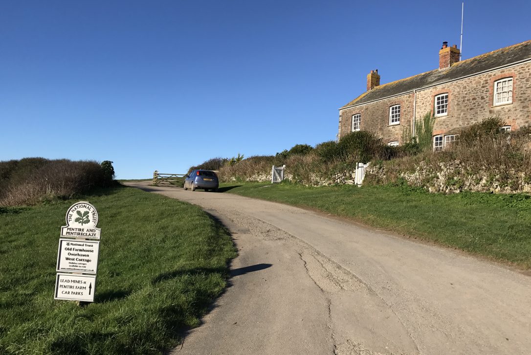
Halfway up the hill you will see a right hand turning into the Lead Mines car park. The car park is named after the local Pentire and Pentireglaze mines that produced lead for around 400 years.
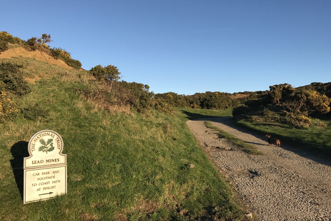
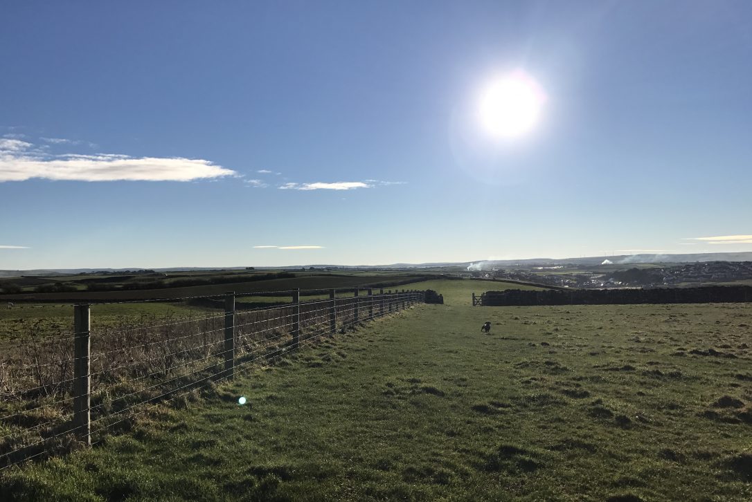
Once you have parked up, leave the car park via the path to the right of the information board. This will lead into a field which you will head across to the wooden gate.
Go through the gate and take a left towards The Rumps.
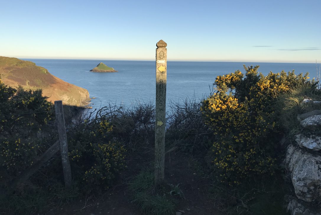
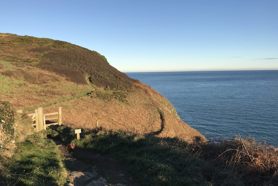
Follow the coast path through another gate and up the steps to the top of the hill.
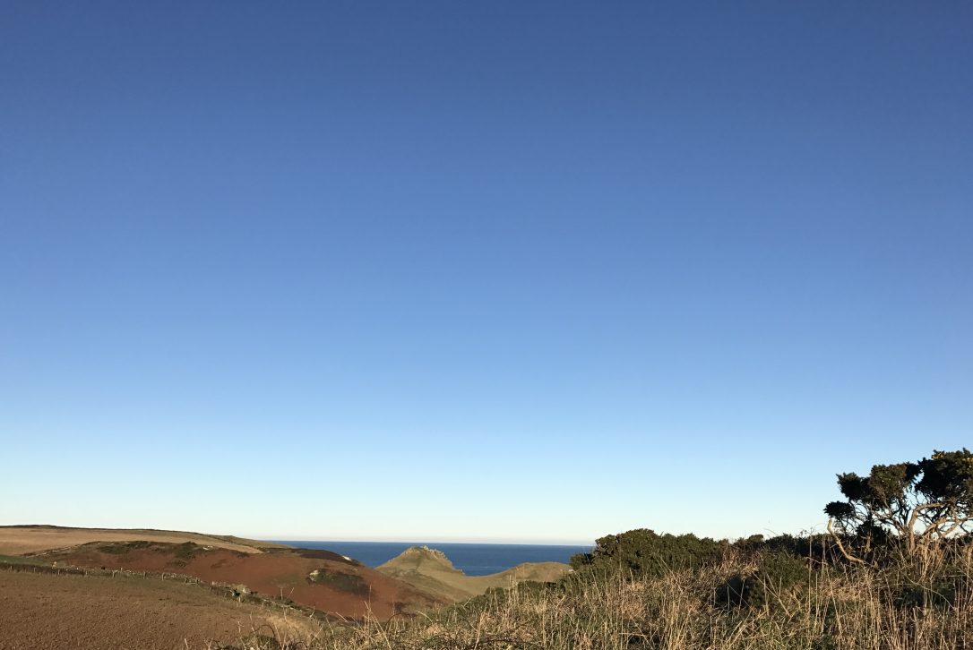
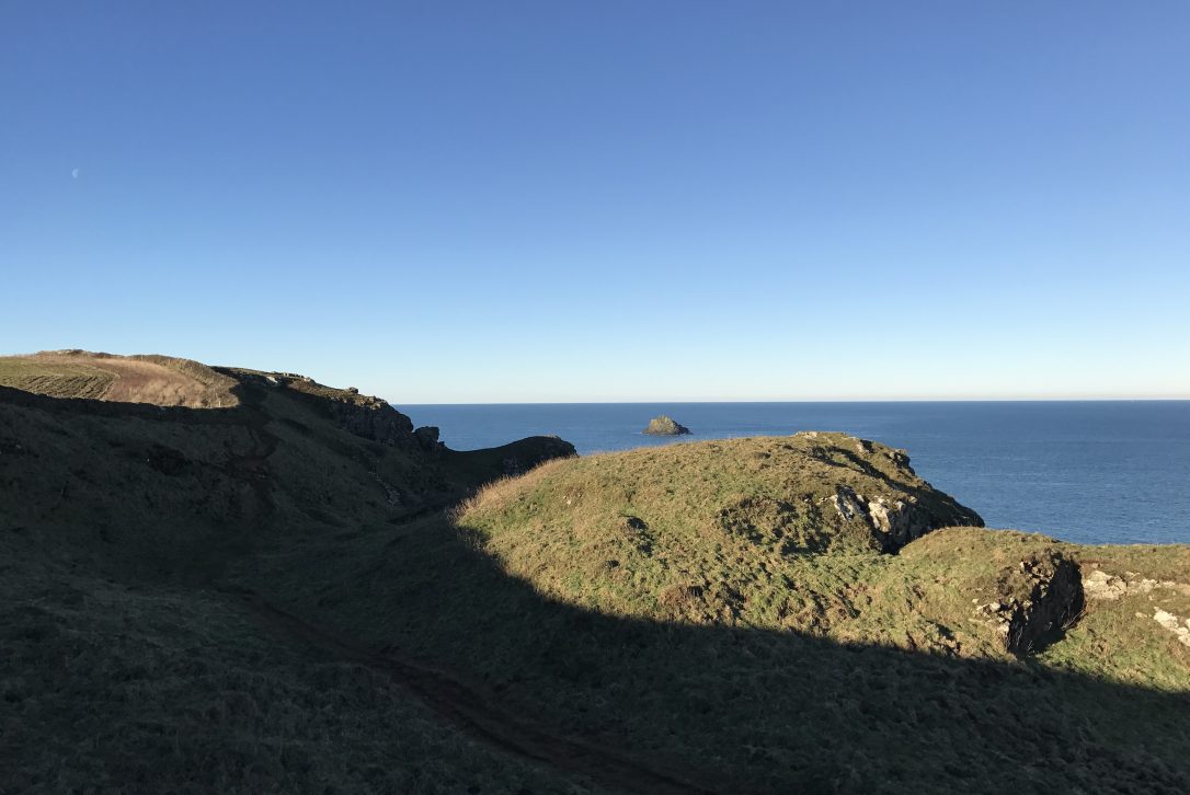
As you head around the corner you will get your first glimpse of The Rumps ahead. The Rumps is a twin-headed promontory formed from hard basaltic rock.
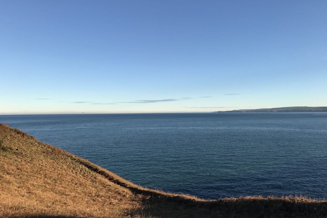
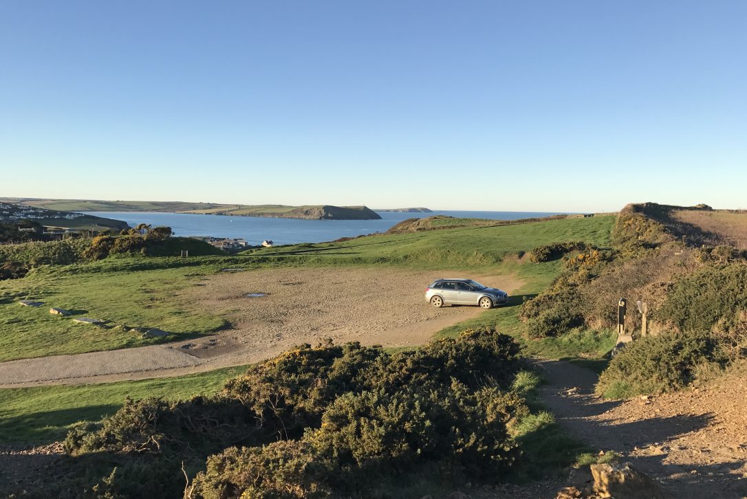
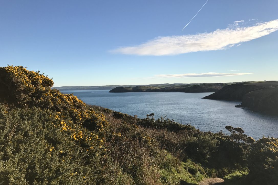
Keep left on the main coast path and when you reach the top of the hill called Com Head. This is a good opportunity to stop and take in the view. From here you are rewarded with a 360 degree view of the coastline. To your left is The Rumps with The Mouls Island just off the headland. To your right is Doyden Point at Port Quin.
Three sets of banks and ditches span the narrowest part of The Rumps and this dates back to the Iron Age, once topped with wooden palisades.
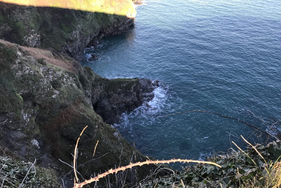
If you look down on your way around the coast path you will see some small inlets below. At low tide these form small sandy beaches, one is a secret beach known as Compit.
The Mouls Island is a protruding part of a large surrounding reef which rises from the sea bed. The Mouls is also known as Puffin Island due to the breeding population of Atlantic Puffins that reside there. Other sea birds such as Gannets can also be seen on the island.
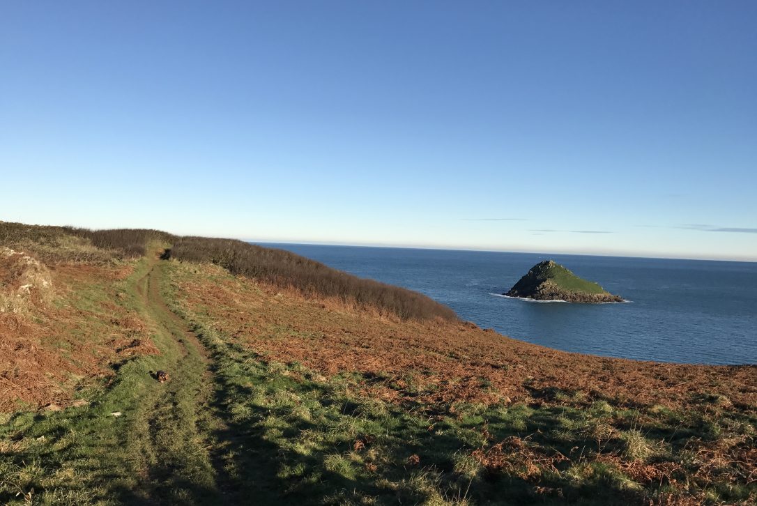
Once you get to The Rumps you can some time to explore and even climb to the highest point to enjoy the views and look down at the inlets to spot seals. If you would prefer to carry on then stick to the footpath on the left that climbs up alongside the stone wall.
Once you have passed The Rumps, look back and you will be able to see the distinctive Seven Sisters (or Seven Souls) rock formation.
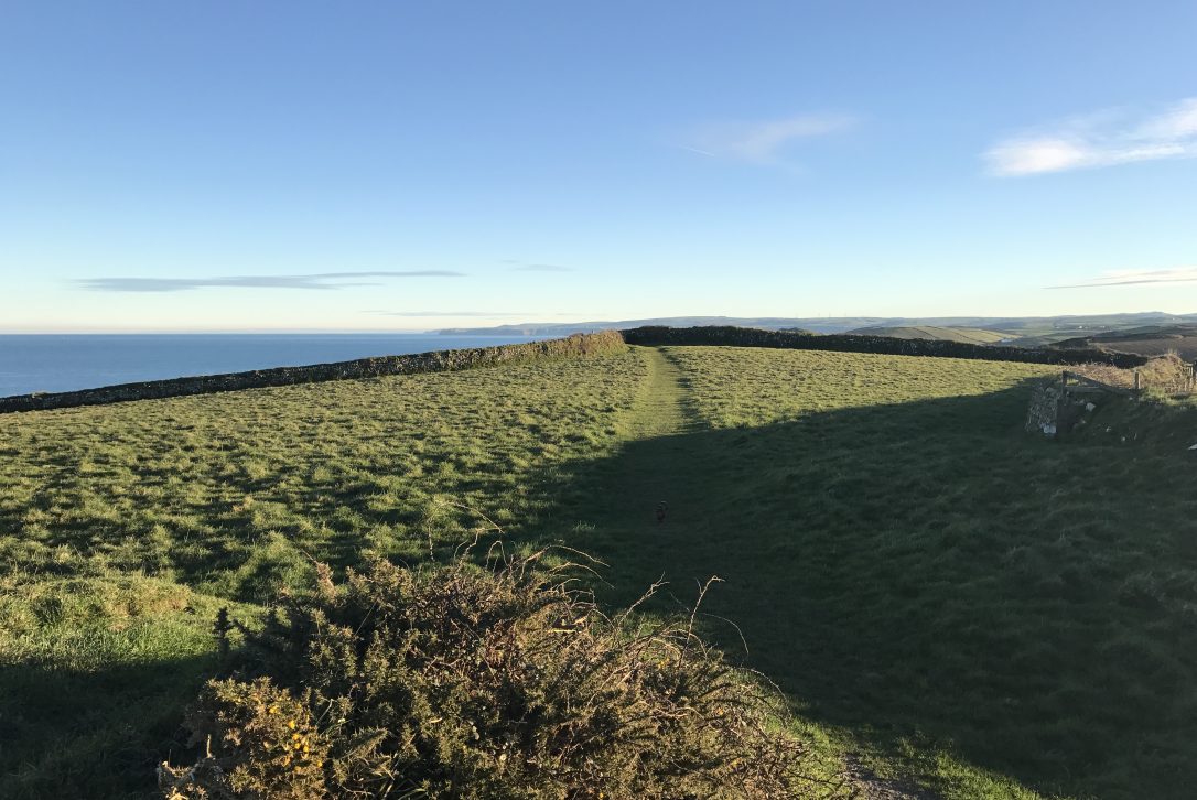
Stick to the path on the left that hugs the Cornish stone wall.
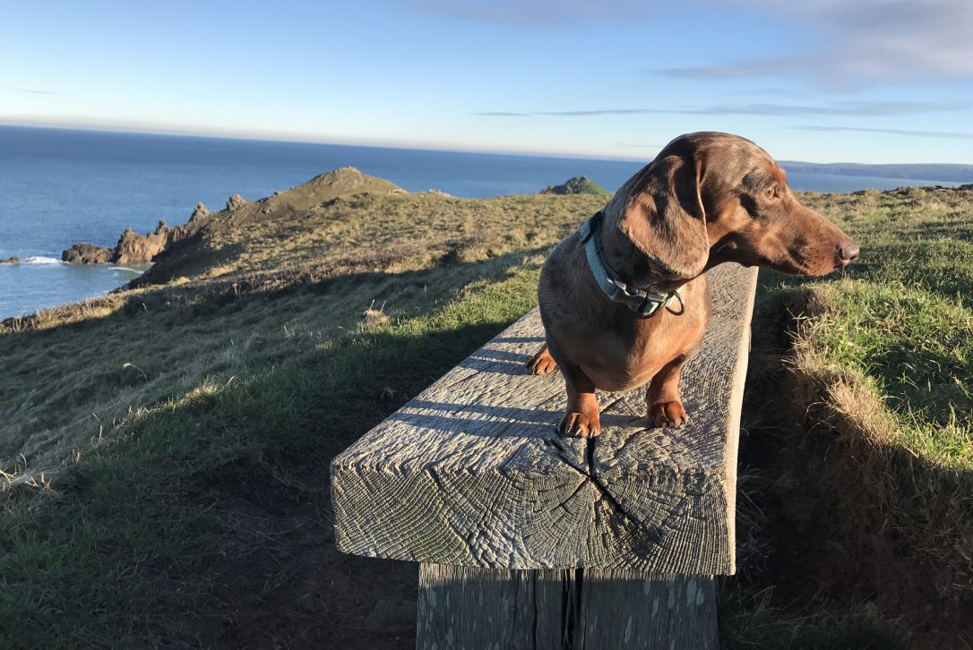
The bench at the top provides a lovely spot for a well-earned rest and a good vantage point to take in the view. Keep your eye out for seals and dolphins here.
When you reach the top of the hill you will see a signpost on your left pointing to Pentire Farm. Take this turning into the fields.
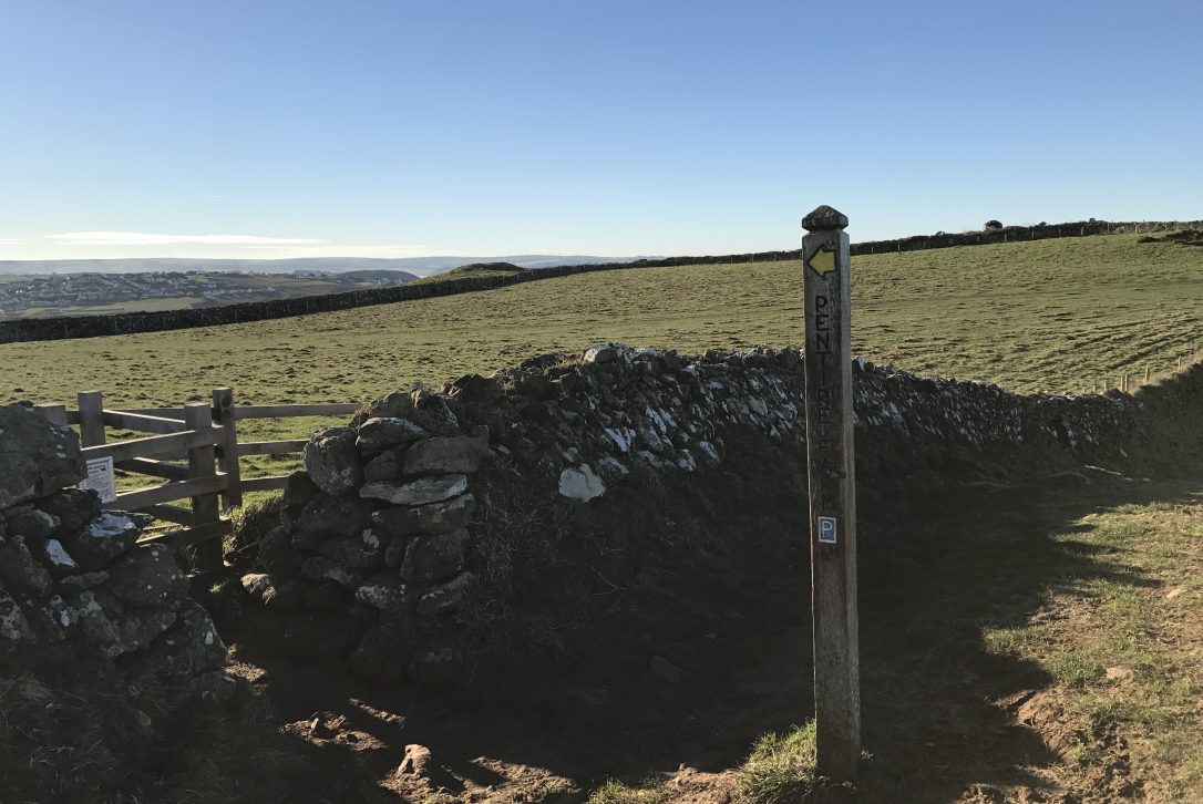
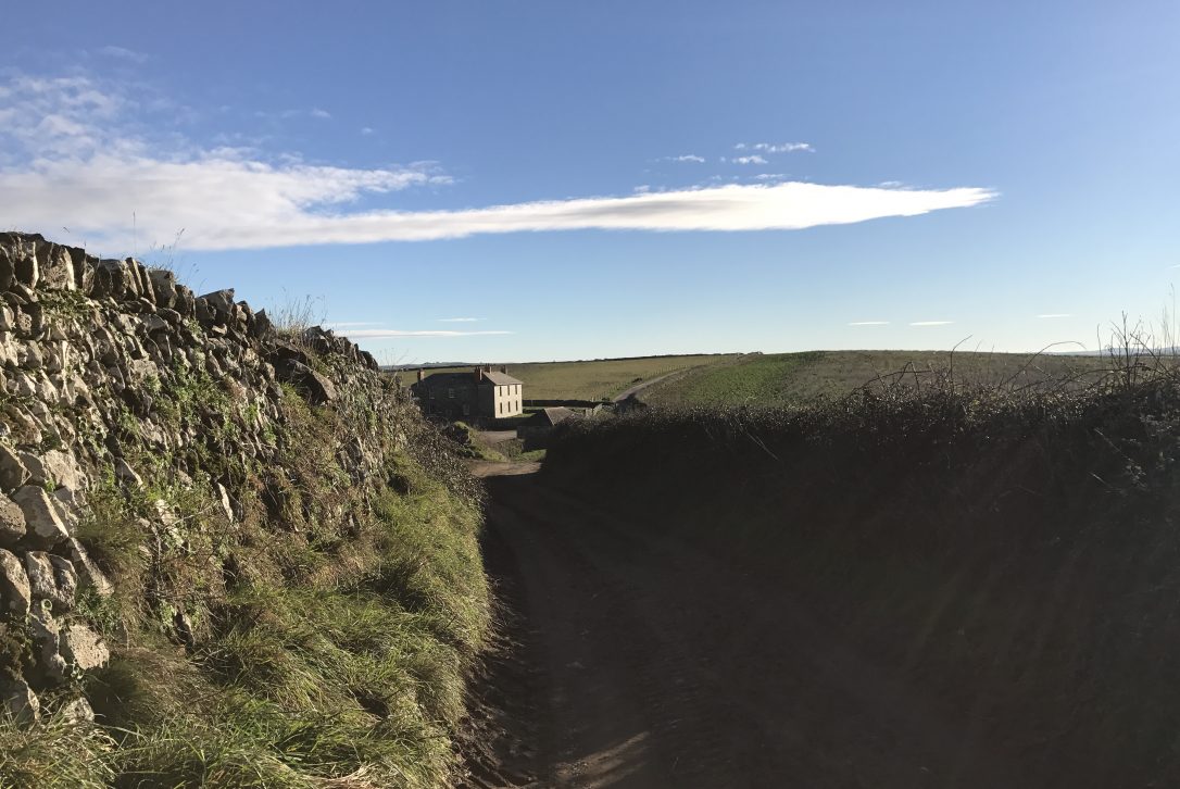
You will walk through two fields with beautiful views across to Polzeath and the mouth of the Camel Estuary. Keep to the left and at the end of the second field you will come to a gateway taking you onto a dirt track.
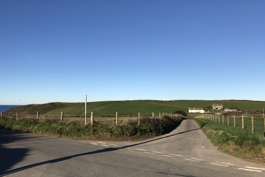
Keep following the track which will take you through the carpark at Pentire Farm and back towards your starting point.
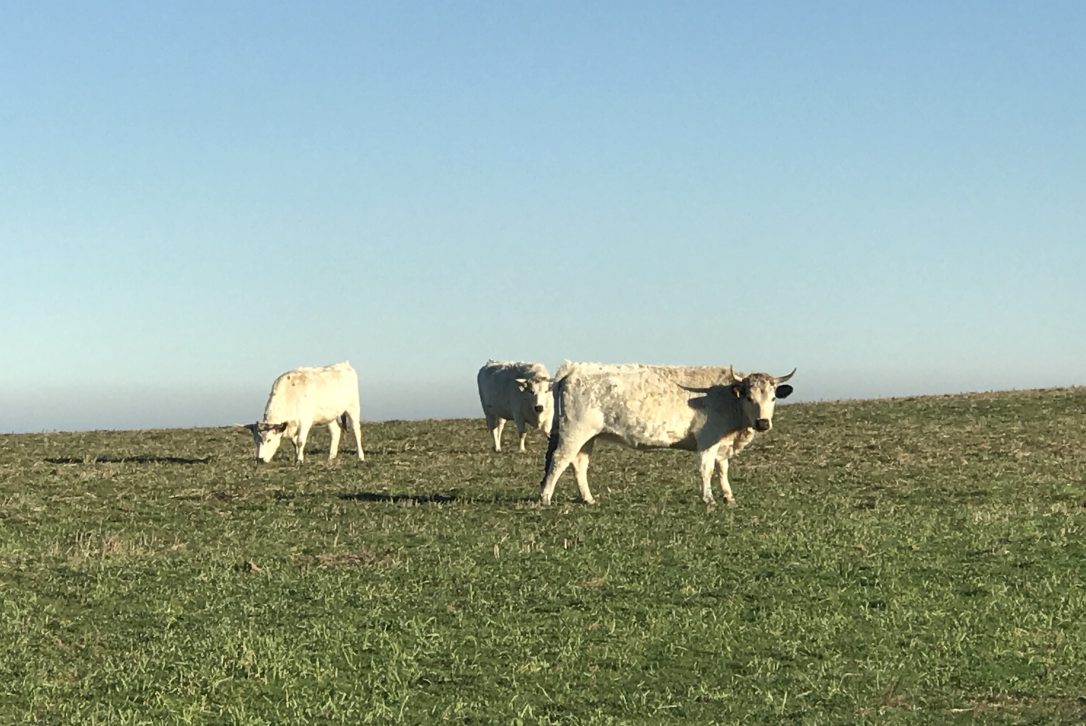
Keep an eye out on your way round for cattle grazing on the farmland.
Once you reach the gateway with the cattle grid, bear left along the field and you will reach the car park and be back where you started. Here you have one last chance to throw some balls for your four-legged friend!
Want to stay nearby so you can explore The Rumps and more breathtaking coastline? Take a look at our Polzeath properties below.